Exhibitor List
More+
【Exhibitor recommendation】 Jingzhong Map (Wuhan) Smart City Research Institute | Professional digita
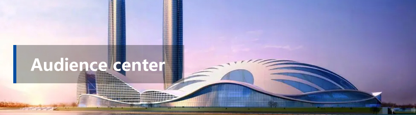
From May 9 to 11, 2023, the fourth Smart City and Smart Construction Industry Expo and Smart City and Smart Construction High-end Forum will be held in Han, during the exhibition will be held in Wuhan state-owned assets special exhibition and exchange activities, focusing on Wuhan state-owned assets and state-owned enterprises reform results to enhance the influence, visibility and reputation of enterprises.
This exhibition is the first collective appearance of state-owned enterprises in Wuhan after the Party's 20th Congress, which will fully demonstrate the characteristics and highlights of enterprises in serving urban construction, enhancing urban functions, improving urban quality, boosting economic development, promoting industrial transformation, and ensuring the service of people's livelihood.
This issue introduces the Jingzhong Map (Wuhan) Smart City Research Institute.
Jingzhong Map, a provider of high-precision map products and services, is jointly invested by SAIC, Dongfeng, Jiangling and other vehicle enterprises. It consists of R&D center (Beijing), operation headquarters (Shanghai), Smart City Research Institute (Wuhan), and production center (Wuxi).
Jingzhong Map has established a research and development team with doctor as the leader and master as the core backbone, and has a number of professor-level senior engineers and experts in Shanghai science and Technology expert database, and has established long-term industry-university-research cooperation with many top universities in China.
As a pioneer of intelligent network connection and intelligent transportation, the company has national high-tech enterprises, double soft certification enterprises, surveying and mapping Grade A, navigation map production grade B, AAA credit certification, ISO9000 certification, CMMI3 and other qualifications.
In accordance with the requirements of the "Overall Layout Plan for Digital China Construction" recently issued by the Central Committee of the Communist Party of China and The State Council, Jingzhong Map is committed to building a new type of transportation digital infrastructure as the goal, based on high-precision map production technology. Carry out traffic model and information, traffic survey, traffic simulation consulting, vehicle and road collaboration and vehicle networking platform development, high-precision parking map application, urban parking operation and management and other related services.
Urban traffic digital infrastructure construction
Total solution
New infrastructure requires new solutions
On October 25, 2021, the Ministry of Transport issued the "14th Five-Year Plan for the Development of Digital Transportation", and in February 2023, the Central Committee of the Communist Party of China and The State Council issued the "Overall Layout Plan for the construction of Digital China", further requiring the acceleration of the construction of digital infrastructure. As an important part of urban activities, transportation is the main driving force for urban development. Accelerating the construction of transportation digital infrastructure is conducive to comprehensively improving the level of urban planning, construction and governance. Currently, the popular three-dimensional construction of urban real scene, BIM and CIM platform construction are all important ways for the digital construction of urban infrastructure. However, at present, there is a lack of technical standards and application practices of traffic digital infrastructure in the construction of various places, and the current hot vehicle-road collaboration and vehicle networking pilot area project construction is generally initiated and led by integrators, and the data specifications of traffic facilities are different according to the technical requirements of each integrator, and there are closed systems, single functions, poor scalability and reusable performance. It is difficult to apply the requirements of comprehensive and systematic transportation digital infrastructure construction, so it is necessary to explore a new mode of transportation digital infrastructure construction relying on local planning and construction platform unit system.
Build a digital base and control digital sovereignty
The Traffic Information Model (TIM) solution developed by Jingzhong Maps accurately describes the linear, topological structure and rich semantic data characteristics of the traffic system, and develops the TIM series toolkit from the specifications of TIM data, collection and production, data application, simulation analysis, and visual display. Standardization, pipelinization, low-cost, portability, editing and maintenance of complex data construction work can empower local design institutes, planning institutes, urban operation and maintenance platforms and other units to have the ability to build traffic digital infrastructure, so as to become the main body of local digital infrastructure construction and operation and maintenance services. Derive data services to the full life cycle of urban "regulation, construction, management and transportation", gain business expansion and value-added in the process of building and maintaining TIM, and enhance their technical strength and industry status.
TIM Model: Five "1s" + "Ns"
Based on years of deep industry knowledge and technical accumulation, TIM model uses professional data structure standards for the transportation industry to quickly produce three-dimensional lane-level simulation road network map, adopts BrightMapJS engine technology, integrates multi-source data, and designs system architecture in layers to create a digital base platform for urban traffic. Realize a traffic management map, planning scheme simulation test, traffic organization optimization simulation, intelligent driving, vehicle-road collaboration... And a variety of applications.
Customized service
Based on rich data resources and advanced simulation services, we adhere to customer demand-oriented, to provide customers with customized, three-dimensional, professional, localized accurate services.
▲Zhengzhou Financial Island L3 autonomous bus project
▲Wuxi Xishan District intelligent networking demonstration project
▲Kunming road and bus infrastructure data visualization project
▲Changshu intelligent network pilot area project
▲Jiaxing future travel project
▲Wuxi high-speed traffic police Huining high-speed Hui An system project
Source: Jingzhong Map
Editor: Yang Wei
Final verdict: Jun Huang


Scan&Follow
Enter to Program

Service Hotline


